
|
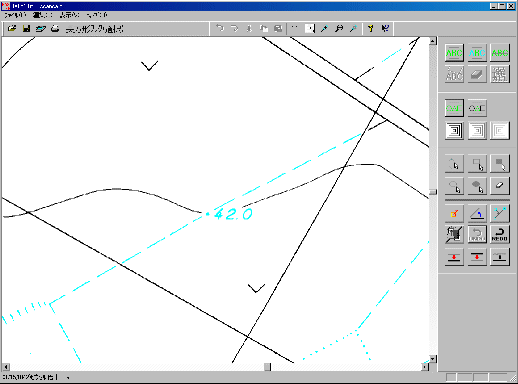
Using the raster editing library's functionality, automatically erase the latitude and longitude lines from the raster map. |
| Original topographic map raster |
|
| Topographic map raster with erased latitude and longitude lines |
|
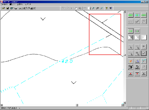
| Original topographic map raster (enlargement of the red boxed area) |
|
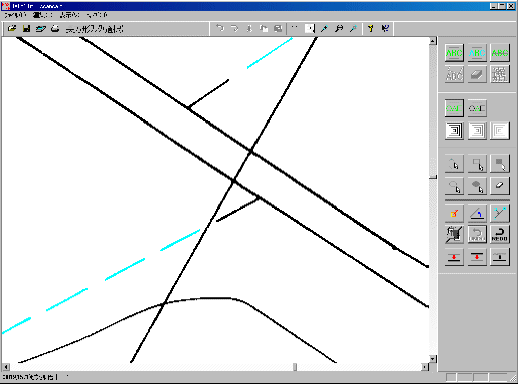
| Topographic map raster with erased latitude and longitude lines (enlargement of the red boxed area) |
|